Warnham Mill Bridge
Introduction
The photograph on this page of Warnham Mill Bridge by Andy Potter as part of the Geograph project.
The Geograph project started in 2005 with the aim of publishing, organising and preserving representative images for every square kilometre of Great Britain, Ireland and the Isle of Man.

There are currently over 7.5m images from over 14,400 individuals and you can help contribute to the project by visiting https://www.geograph.org.uk
Warnham Mill Bridge
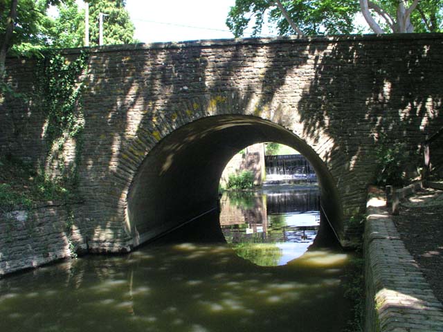
Image: © Andy Potter Taken: 22 May 2007
A road from Horsham to Dorking was recorded in the late 13th or early 14th century and almost certainly would have crossed the river at the site of the modern bridge. A bridge on this site was first recorded in 1509 and a stone bridge mentioned in 1635. The modern bridge was built in 1928 to accommodate the widened Warnham Road (B2237). It appears to be of concrete poured to form a tube-shaped arch with a facing of natural stone. Seen from Image south of the bridge Image is visible through the arch.
Images are licensed for reuse under creativecommons.org/licenses/by-sa/2.0
Image Location
Latitude
51.077961
Longitude
-0.333757