Bridleway to Borden
Introduction
The photograph on this page of Bridleway to Borden by Robin Webster as part of the Geograph project.
The Geograph project started in 2005 with the aim of publishing, organising and preserving representative images for every square kilometre of Great Britain, Ireland and the Isle of Man.

There are currently over 7.5m images from over 14,400 individuals and you can help contribute to the project by visiting https://www.geograph.org.uk
Bridleway to Borden
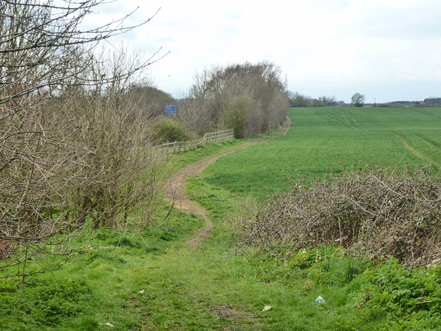
Image: © Robin Webster Taken: 4 Apr 2015
This runs beside the M2 on the left, and then after 300 m turns a right angle to the right to head directly to Borden. Before the M2 was built this near part did not exist, and the route continued south on a more direct course.
Images are licensed for reuse under creativecommons.org/licenses/by-sa/2.0
Image Location
Latitude
51.318605
Longitude
0.694914