Distances from Monmouth
Introduction
The photograph on this page of Distances from Monmouth by Jaggery as part of the Geograph project.
The Geograph project started in 2005 with the aim of publishing, organising and preserving representative images for every square kilometre of Great Britain, Ireland and the Isle of Man.

There are currently over 7.5m images from over 14,400 individuals and you can help contribute to the project by visiting https://www.geograph.org.uk
Distances from Monmouth
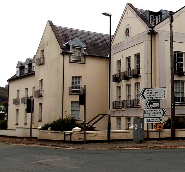
Image: © Jaggery Taken: 26 Oct 2014
Pointing left (east) along the A466 Dixton Road, a sign shows 11 (miles) to Ross(-on-Wye), 17 to Chepstow, 23 to Newport and 17 to Abergavenny. The sign below it shows a route to Hereford for heavy goods vehicles.
Images are licensed for reuse under creativecommons.org/licenses/by-sa/2.0
Image Location
Latitude
51.814187
Longitude
-2.712788