Canalside house construction, Bridgwater
Introduction
The photograph on this page of Canalside house construction, Bridgwater by Jaggery as part of the Geograph project.
The Geograph project started in 2005 with the aim of publishing, organising and preserving representative images for every square kilometre of Great Britain, Ireland and the Isle of Man.

There are currently over 7.5m images from over 14,400 individuals and you can help contribute to the project by visiting https://www.geograph.org.uk
Canalside house construction, Bridgwater
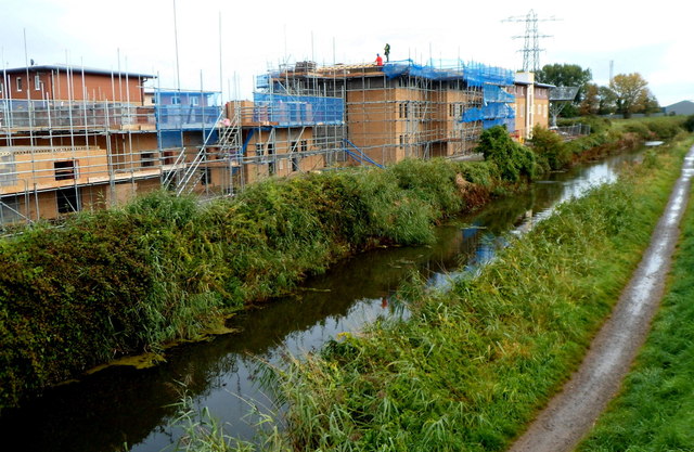
Image: © Jaggery Taken: 4 Oct 2012
Viewed from this http://www.geograph.org.uk/photo/4413054 bridge in October 2012, when houses are being built alongside the Bridgwater and Taunton Canal east of Old Taunton Road.
Images are licensed for reuse under creativecommons.org/licenses/by-sa/2.0
Image Location
Latitude
51.122353
Longitude
-2.997575