Bolnore Primary School, Bolnore Village
Introduction
The photograph on this page of Bolnore Primary School, Bolnore Village by Simon Carey as part of the Geograph project.
The Geograph project started in 2005 with the aim of publishing, organising and preserving representative images for every square kilometre of Great Britain, Ireland and the Isle of Man.

There are currently over 7.5m images from over 14,400 individuals and you can help contribute to the project by visiting https://www.geograph.org.uk
Bolnore Primary School, Bolnore Village
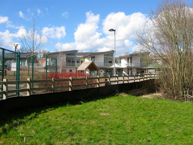
Image: © Simon Carey Taken: 31 Mar 2015
Opened in 2010 after a concerted effort by the locals to get the council to supply one as it was not included in the original development.
Images are licensed for reuse under creativecommons.org/licenses/by-sa/2.0
Image Location
Latitude
50.990917
Longitude
-0.115298