River Walk, Llantwit Major
Introduction
The photograph on this page of River Walk, Llantwit Major by Jaggery as part of the Geograph project.
The Geograph project started in 2005 with the aim of publishing, organising and preserving representative images for every square kilometre of Great Britain, Ireland and the Isle of Man.

There are currently over 7.5m images from over 14,400 individuals and you can help contribute to the project by visiting https://www.geograph.org.uk
River Walk, Llantwit Major
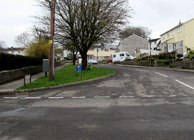
Image: © Jaggery Taken: 3 Apr 2015
Cul-de-sac on the north side of the Westhill Street and Wine Street junction. Brook Walk would be a better name - below the wall on the left flows Ogney Brook.
Images are licensed for reuse under creativecommons.org/licenses/by-sa/2.0
Image Location
Latitude
51.409488
Longitude
-3.487792