Old School, Llantwit Major
Introduction
The photograph on this page of Old School, Llantwit Major by Jaggery as part of the Geograph project.
The Geograph project started in 2005 with the aim of publishing, organising and preserving representative images for every square kilometre of Great Britain, Ireland and the Isle of Man.

There are currently over 7.5m images from over 14,400 individuals and you can help contribute to the project by visiting https://www.geograph.org.uk
Old School, Llantwit Major
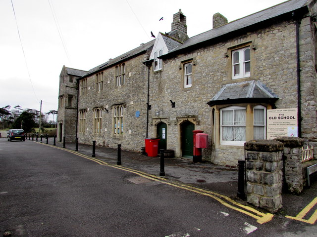
Image: © Jaggery Taken: 3 Apr 2015
In early April 2015, the Llantwit Major Town Council board on the right shows Community Building including the Council Chamber; Compass Community Care; Welsh Medium Playgroup. The blue plaque http://www.geograph.org.uk/photo/1114047 on the wall gives a potted history of the building.
Images are licensed for reuse under creativecommons.org/licenses/by-sa/2.0
Image Location
Latitude
51.408593
Longitude
-3.487475