Heath Road
Introduction
The photograph on this page of Heath Road by Richard Webb as part of the Geograph project.
The Geograph project started in 2005 with the aim of publishing, organising and preserving representative images for every square kilometre of Great Britain, Ireland and the Isle of Man.

There are currently over 7.5m images from over 14,400 individuals and you can help contribute to the project by visiting https://www.geograph.org.uk
Heath Road
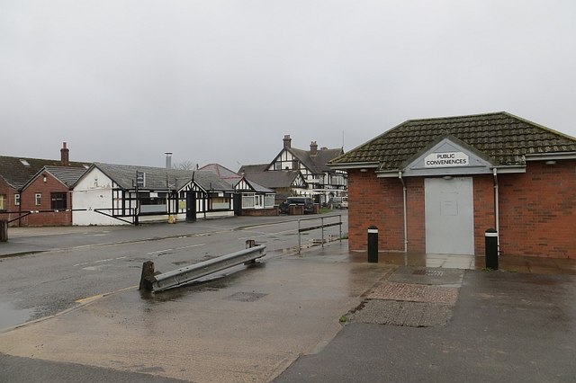
Image: © Richard Webb Taken: 3 Apr 2015
The old Heath Road now replaced by a dual carriageway on the A49 /A41. The bogs are closed and boarded up, the nearby cafe was closed early on account of it being a bank holiday.
Images are licensed for reuse under creativecommons.org/licenses/by-sa/2.0
Image Location
Latitude
52.938004
Longitude
-2.66104