Junction of Clay House Lane with Lindwell Avenue
Introduction
The photograph on this page of Junction of Clay House Lane with Lindwell Avenue by Humphrey Bolton as part of the Geograph project.
The Geograph project started in 2005 with the aim of publishing, organising and preserving representative images for every square kilometre of Great Britain, Ireland and the Isle of Man.

There are currently over 7.5m images from over 14,400 individuals and you can help contribute to the project by visiting https://www.geograph.org.uk
Junction of Clay House Lane with Lindwell Avenue
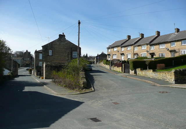
Image: © Humphrey Bolton Taken: 2 Apr 2015
Linwell Street, on the right, is relatively new; it is not on the 1933 edition of the 1:2500 map.
Images are licensed for reuse under creativecommons.org/licenses/by-sa/2.0
Image Location
Latitude
53.689237
Longitude
-1.858833