Derelict houses, Belfast Road, Carrickfergus (April 2015)
Introduction
The photograph on this page of Derelict houses, Belfast Road, Carrickfergus (April 2015) by Albert Bridge as part of the Geograph project.
The Geograph project started in 2005 with the aim of publishing, organising and preserving representative images for every square kilometre of Great Britain, Ireland and the Isle of Man.

There are currently over 7.5m images from over 14,400 individuals and you can help contribute to the project by visiting https://www.geograph.org.uk
Derelict houses, Belfast Road, Carrickfergus (April 2015)
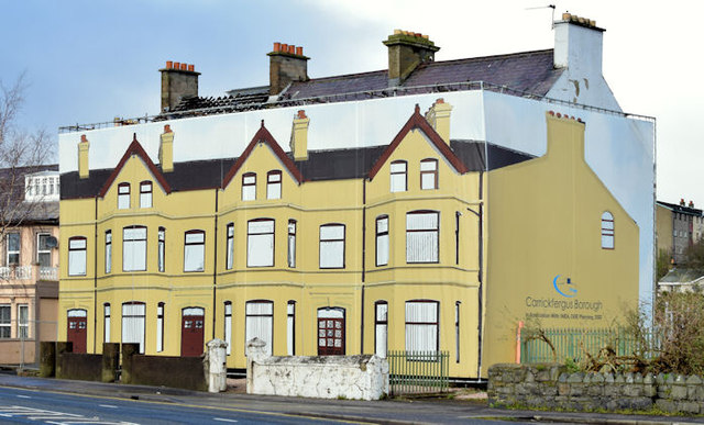
Image: © Albert Bridge Taken: 3 Apr 2015
See Image (September 2010). Still derelict, still standing but now hidden by a disguise.
Images are licensed for reuse under creativecommons.org/licenses/by-sa/2.0
Image Location
Latitude
54.712896
Longitude
-5.814003