Andrews House, Llantwit Major
Introduction
The photograph on this page of Andrews House, Llantwit Major by Jaggery as part of the Geograph project.
The Geograph project started in 2005 with the aim of publishing, organising and preserving representative images for every square kilometre of Great Britain, Ireland and the Isle of Man.

There are currently over 7.5m images from over 14,400 individuals and you can help contribute to the project by visiting https://www.geograph.org.uk
Andrews House, Llantwit Major
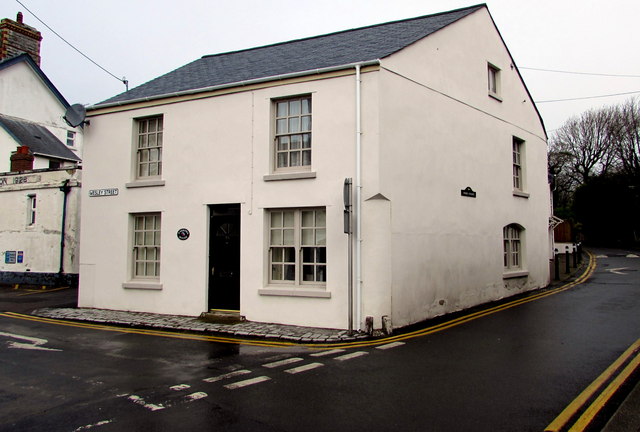
Image: © Jaggery Taken: 3 Apr 2015
The house at the eastern end of Wesley Street has been divided into two flats.
Images are licensed for reuse under creativecommons.org/licenses/by-sa/2.0
Image Location
Latitude
51.409158
Longitude
-3.48548