Penland Road, Haywards Heath
Introduction
The photograph on this page of Penland Road, Haywards Heath by Simon Carey as part of the Geograph project.
The Geograph project started in 2005 with the aim of publishing, organising and preserving representative images for every square kilometre of Great Britain, Ireland and the Isle of Man.

There are currently over 7.5m images from over 14,400 individuals and you can help contribute to the project by visiting https://www.geograph.org.uk
Penland Road, Haywards Heath
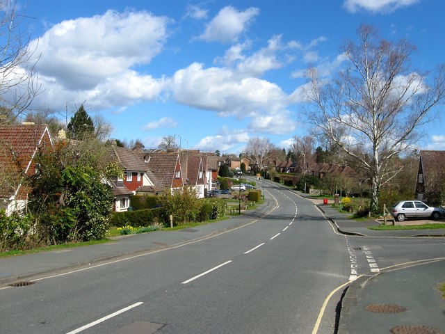
Image: © Simon Carey Taken: 31 Mar 2015
Running between Blacombe Road to the north and Blunts Wood Road to the south the road along with much of the adjacent housing was developed in the 1960s on land formerly belonging to Harlands Farm. The dip would have once contained a small stream which fed the former millponds of nearby Bridger's Mill.
Images are licensed for reuse under creativecommons.org/licenses/by-sa/2.0
Image Location
Latitude
51.010963
Longitude
-0.10921