Lancaster Road
Introduction
The photograph on this page of Lancaster Road by Ian Capper as part of the Geograph project.
The Geograph project started in 2005 with the aim of publishing, organising and preserving representative images for every square kilometre of Great Britain, Ireland and the Isle of Man.

There are currently over 7.5m images from over 14,400 individuals and you can help contribute to the project by visiting https://www.geograph.org.uk
Lancaster Road
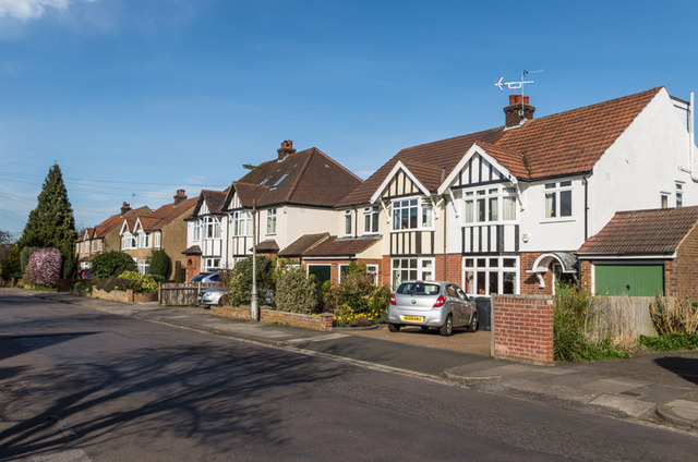
Image: © Ian Capper Taken: 15 Mar 2014
1930s housing on a road connecting Sandridge Road and Sandpit Road. The name commemorates one of the sides in the Second Battle of St Albans in 1461, fought on nearby Bernards Heath.
Images are licensed for reuse under creativecommons.org/licenses/by-sa/2.0
Image Location
Latitude
51.764793
Longitude
-0.322937