Permissive Footpath, Pierce's Wood
Introduction
The photograph on this page of Permissive Footpath, Pierce's Wood by Simon Carey as part of the Geograph project.
The Geograph project started in 2005 with the aim of publishing, organising and preserving representative images for every square kilometre of Great Britain, Ireland and the Isle of Man.

There are currently over 7.5m images from over 14,400 individuals and you can help contribute to the project by visiting https://www.geograph.org.uk
Permissive Footpath, Pierce's Wood
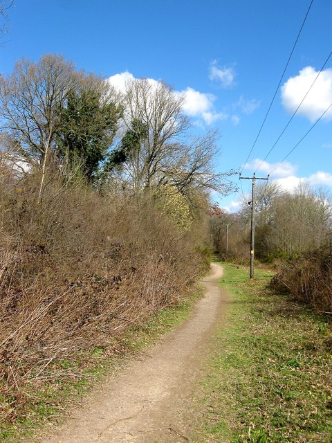
Image: © Simon Carey Taken: 31 Mar 2015
The footpath runs from the lower village of the Bolnore development to Ashenground Bridge skirting the eastern side of a local nature reserve, the remnant of woodlands left after the rest were removed for the construction of the new estate, and the railway line.
Images are licensed for reuse under creativecommons.org/licenses/by-sa/2.0
Image Location
Latitude
50.988437
Longitude
-0.112121