The Severn Valley
Introduction
The photograph on this page of The Severn Valley by Jonathan Billinger as part of the Geograph project.
The Geograph project started in 2005 with the aim of publishing, organising and preserving representative images for every square kilometre of Great Britain, Ireland and the Isle of Man.

There are currently over 7.5m images from over 14,400 individuals and you can help contribute to the project by visiting https://www.geograph.org.uk
The Severn Valley
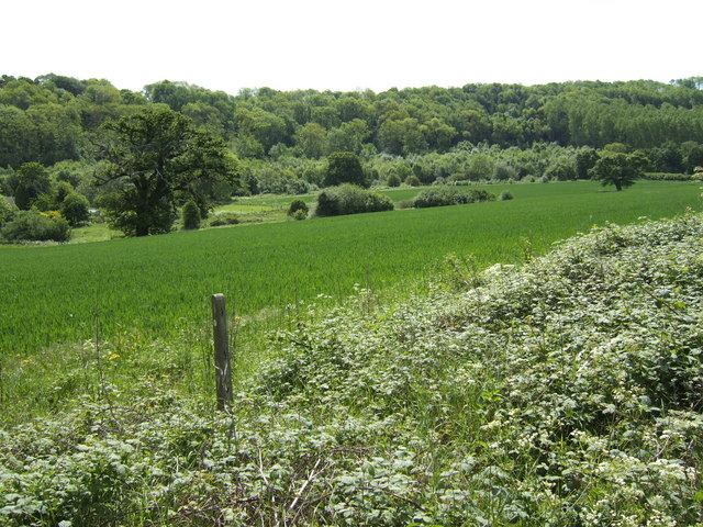
Image: © Jonathan Billinger Taken: 22 May 2007
The river is accessible via the Severn Way which drops down from the course of an old railway, past a sewage works, near Coalport. The proximity of coal, iron ore, and river transport gave this now tranquil stretch of Britain's longest river the honour of being the environment for the beginning of the Industrial Revolution in the eighteenth century.
Images are licensed for reuse under creativecommons.org/licenses/by-sa/2.0
Image Location
Latitude
52.6033
Longitude
-2.431108