Allotments path, Old Cwmbran
Introduction
The photograph on this page of Allotments path, Old Cwmbran by Jaggery as part of the Geograph project.
The Geograph project started in 2005 with the aim of publishing, organising and preserving representative images for every square kilometre of Great Britain, Ireland and the Isle of Man.

There are currently over 7.5m images from over 14,400 individuals and you can help contribute to the project by visiting https://www.geograph.org.uk
Allotments path, Old Cwmbran
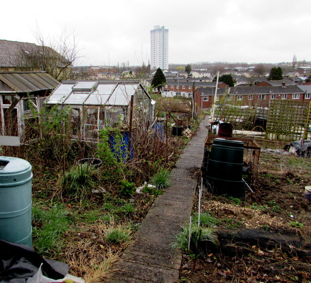
Image: © Jaggery Taken: 2 Apr 2015
Viewed from this http://www.geograph.org.uk/photo/4410901 entrance gate. The multi-storey flats building The Tower http://www.geograph.org.uk/photo/3828457 is in the distance.
Images are licensed for reuse under creativecommons.org/licenses/by-sa/2.0
Image Location
Latitude
51.648532
Longitude
-3.021949