Shire Lane, Haywards Heath
Introduction
The photograph on this page of Shire Lane, Haywards Heath by Simon Carey as part of the Geograph project.
The Geograph project started in 2005 with the aim of publishing, organising and preserving representative images for every square kilometre of Great Britain, Ireland and the Isle of Man.

There are currently over 7.5m images from over 14,400 individuals and you can help contribute to the project by visiting https://www.geograph.org.uk
Shire Lane, Haywards Heath
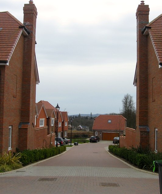
Image: © Simon Carey Taken: 30 Mar 2015
Once part of a field called Upper meadow according to Cuckfield's 1843 tithe map, this small cul de sac off Bolnore Road was built in the last couple of years. The South Downs can be seen in the distance.
Images are licensed for reuse under creativecommons.org/licenses/by-sa/2.0
Image Location
Latitude
50.996664
Longitude
-0.11478