9-13, Heath Road, Haywards Heath
Introduction
The photograph on this page of 9-13, Heath Road, Haywards Heath by Simon Carey as part of the Geograph project.
The Geograph project started in 2005 with the aim of publishing, organising and preserving representative images for every square kilometre of Great Britain, Ireland and the Isle of Man.

There are currently over 7.5m images from over 14,400 individuals and you can help contribute to the project by visiting https://www.geograph.org.uk
9-13, Heath Road, Haywards Heath
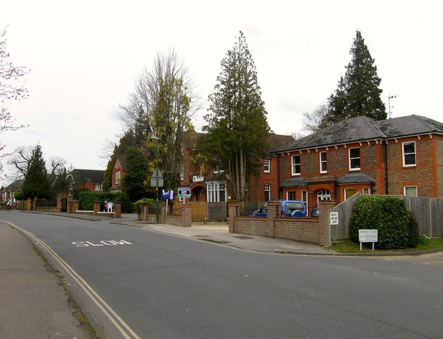
Image: © Simon Carey Taken: 30 Mar 2015
Heath Road is one of the earliest new roads of the town having been laid out after the enclosure of the old heath in 1858. There are no houses on the road on the 1874 OS map, however, number 13 on the right makes its first appearance on the 1897 edition whilst the two houses beyond, partially obscured by trees, were in place by the 1910 version.
Images are licensed for reuse under creativecommons.org/licenses/by-sa/2.0
Image Location
Latitude
51.000782
Longitude
-0.102498