Flooded field, Bury
Introduction
The photograph on this page of Flooded field, Bury by Bradley Michael as part of the Geograph project.
The Geograph project started in 2005 with the aim of publishing, organising and preserving representative images for every square kilometre of Great Britain, Ireland and the Isle of Man.

There are currently over 7.5m images from over 14,400 individuals and you can help contribute to the project by visiting https://www.geograph.org.uk
Flooded field, Bury
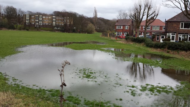
Image: © Bradley Michael Taken: 1 Apr 2015
Consecutive days of heavy rain caused this particular area to carry standing water.
Images are licensed for reuse under creativecommons.org/licenses/by-sa/2.0
Image Location
Latitude
53.581713
Longitude
-2.300535