Sergison Close, Haywards Heath
Introduction
The photograph on this page of Sergison Close, Haywards Heath by Simon Carey as part of the Geograph project.
The Geograph project started in 2005 with the aim of publishing, organising and preserving representative images for every square kilometre of Great Britain, Ireland and the Isle of Man.

There are currently over 7.5m images from over 14,400 individuals and you can help contribute to the project by visiting https://www.geograph.org.uk
Sergison Close, Haywards Heath
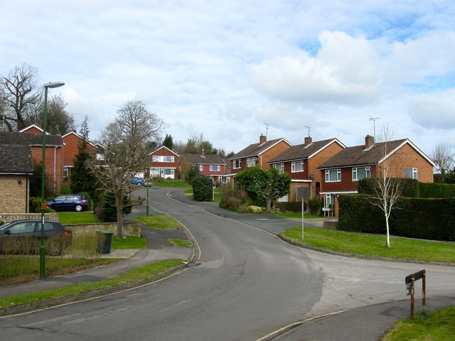
Image: © Simon Carey Taken: 30 Mar 2015
A cul de sac that heads south from Sergison Road and is connected to Butlers Green Road by a small path. Originally a field called Pit Field according to Cuckfield's 1843 tithe map it later became part of Paddockhall Gardens and nursery until this section was developed during the mid 1960s. The close was extended further south in the 1980s. The junction on the right is with Image
Images are licensed for reuse under creativecommons.org/licenses/by-sa/2.0
Image Location
Latitude
51.001406
Longitude
-0.113305