Bolnore Farm Lane, Haywards Heath
Introduction
The photograph on this page of Bolnore Farm Lane, Haywards Heath by Simon Carey as part of the Geograph project.
The Geograph project started in 2005 with the aim of publishing, organising and preserving representative images for every square kilometre of Great Britain, Ireland and the Isle of Man.

There are currently over 7.5m images from over 14,400 individuals and you can help contribute to the project by visiting https://www.geograph.org.uk
Bolnore Farm Lane, Haywards Heath
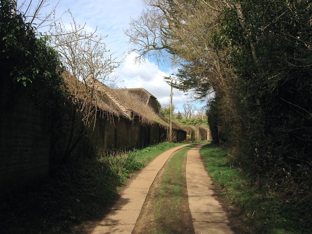
Image: © Simon Carey Taken: 30 Mar 2015
The current track heads south from Isaac's Lane to Bolnore Farm, whose buildings can be seen on the left, and a couple of cottages. The track itself is much older being marked on a 1638 estate map and called Half Street Lane.
Images are licensed for reuse under creativecommons.org/licenses/by-sa/2.0
Image Location
Latitude
50.995645
Longitude
-0.118526