Cornwell Road
Introduction
The photograph on this page of Cornwell Road by Hugh Venables as part of the Geograph project.
The Geograph project started in 2005 with the aim of publishing, organising and preserving representative images for every square kilometre of Great Britain, Ireland and the Isle of Man.

There are currently over 7.5m images from over 14,400 individuals and you can help contribute to the project by visiting https://www.geograph.org.uk
Cornwell Road
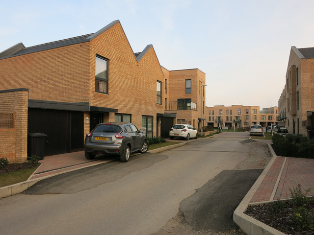
Image: © Hugh Venables Taken: 13 Mar 2015
Mostly finished, already occupied part of the Great Kneighton development on Clay Farm near Trumpington. See Image for an earlier view.
Images are licensed for reuse under creativecommons.org/licenses/by-sa/2.0
Image Location
Latitude
52.167954
Longitude
0.121947