St George's in the Fields
Introduction
The photograph on this page of St George's in the Fields by Lairich Rig as part of the Geograph project.
The Geograph project started in 2005 with the aim of publishing, organising and preserving representative images for every square kilometre of Great Britain, Ireland and the Isle of Man.

There are currently over 7.5m images from over 14,400 individuals and you can help contribute to the project by visiting https://www.geograph.org.uk
St George's in the Fields
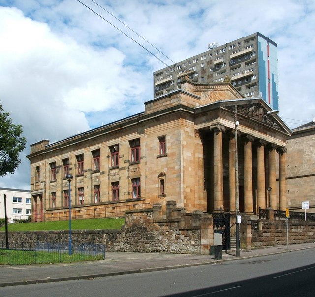
Image: © Lairich Rig Taken: 19 Jul 2011
High flats at Cedar Court are behind the building. See Image, another contributor's earlier picture, for links to more views of the former church, and for further information.
Images are licensed for reuse under creativecommons.org/licenses/by-sa/2.0
Image Location
Latitude
55.874045
Longitude
-4.263972