Ellerburn Road
Introduction
The photograph on this page of Ellerburn Road by Alan Walker as part of the Geograph project.
The Geograph project started in 2005 with the aim of publishing, organising and preserving representative images for every square kilometre of Great Britain, Ireland and the Isle of Man.

There are currently over 7.5m images from over 14,400 individuals and you can help contribute to the project by visiting https://www.geograph.org.uk
Ellerburn Road
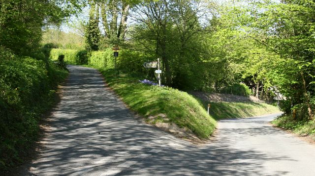
Image: © Alan Walker Taken: 1 May 2007
The north-easterly facing photograph shows Ellerburn Road (in the foreground and bearing left) at it junction with the northern end of Priestman’s Lane. Ahead on Priestman’s Lane (out of shot, just beyond the turn) are Image Behind the viewpoint Ellerburn Road continues south-westerly toward its junction with Whitby Gate. For a more south-westerly (some 30metres behind the viewpoint) photograph of Ellerburn Road, click here Image
Images are licensed for reuse under creativecommons.org/licenses/by-sa/2.0
Image Location


Leaflet Map data © OpenStreetMap
Latitude
54.239929
Longitude
-0.718592