The Alliance Buildings - 188 Whingate
Introduction
The photograph on this page of The Alliance Buildings - 188 Whingate by Betty Longbottom as part of the Geograph project.
The Geograph project started in 2005 with the aim of publishing, organising and preserving representative images for every square kilometre of Great Britain, Ireland and the Isle of Man.

There are currently over 7.5m images from over 14,400 individuals and you can help contribute to the project by visiting https://www.geograph.org.uk
The Alliance Buildings - 188 Whingate
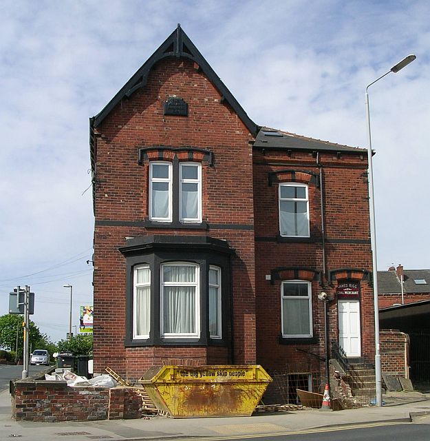
Image: © Betty Longbottom Taken: 21 May 2007
These were built in the late 1880s and are being converted into flats.
Images are licensed for reuse under creativecommons.org/licenses/by-sa/2.0
Image Location
Latitude
53.795256
Longitude
-1.601163