Strath Fleet View
Introduction
The photograph on this page of Strath Fleet View by Mary and Angus Hogg as part of the Geograph project.
The Geograph project started in 2005 with the aim of publishing, organising and preserving representative images for every square kilometre of Great Britain, Ireland and the Isle of Man.

There are currently over 7.5m images from over 14,400 individuals and you can help contribute to the project by visiting https://www.geograph.org.uk
Strath Fleet View
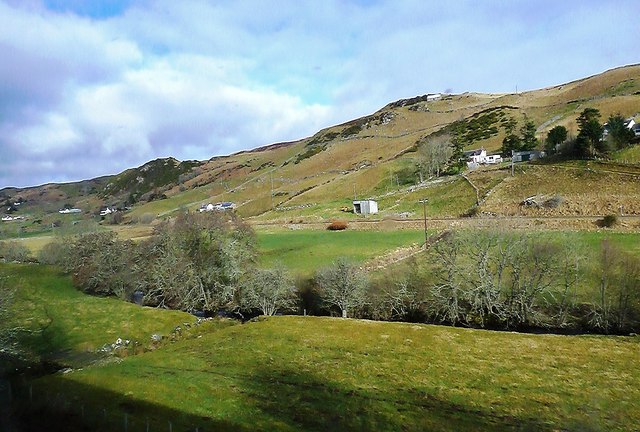
Image: © Mary and Angus Hogg Taken: 25 Mar 2015
A late-March view of Strath Fleet showing cultivated fields in the valley floor and moorland on the hills. Viewed from a train between Lairg and Rogart. The land on the other side of the A839 is in the next square.
Images are licensed for reuse under creativecommons.org/licenses/by-sa/2.0
Image Location


Leaflet Map data © OpenStreetMap
Latitude
58.005006
Longitude
-4.234314