House near Starveall Farm, Stone
Introduction
The photograph on this page of House near Starveall Farm, Stone by Andy Gryce as part of the Geograph project.
The Geograph project started in 2005 with the aim of publishing, organising and preserving representative images for every square kilometre of Great Britain, Ireland and the Isle of Man.

There are currently over 7.5m images from over 14,400 individuals and you can help contribute to the project by visiting https://www.geograph.org.uk
House near Starveall Farm, Stone
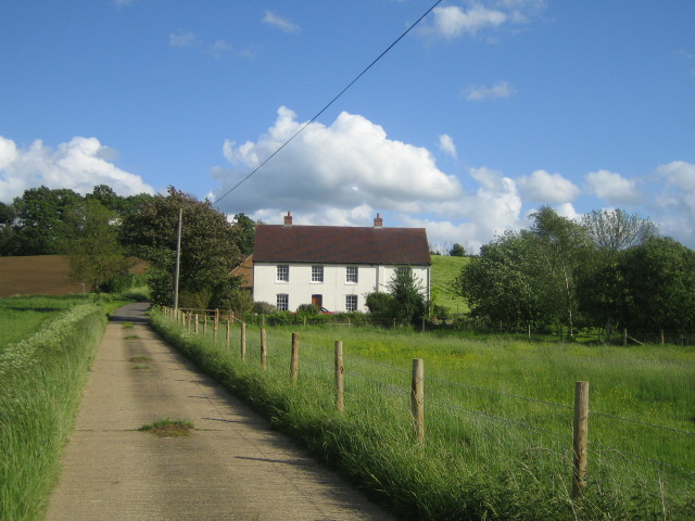
Image: © Andy Gryce Taken: 19 May 2007
This unnamed house lies halfway between Starveall Farm about 1/2 km behind the camera, and the A418 road west of Stone. A footpath leaves the left hand side of the near the cottage, and the Aylesbury Ring footpath goes through the farm, but this section of road is not a public way. For the view in the opposite direction see Image
Images are licensed for reuse under creativecommons.org/licenses/by-sa/2.0
Image Location


Leaflet Map data © OpenStreetMap
Latitude
51.803427
Longitude
-0.885407