Former Paisley Canal Station
Introduction
The photograph on this page of Former Paisley Canal Station by Thomas Nugent as part of the Geograph project.
The Geograph project started in 2005 with the aim of publishing, organising and preserving representative images for every square kilometre of Great Britain, Ireland and the Isle of Man.

There are currently over 7.5m images from over 14,400 individuals and you can help contribute to the project by visiting https://www.geograph.org.uk
Former Paisley Canal Station
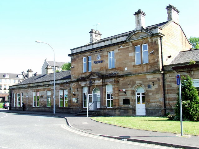
Image: © Thomas Nugent Taken: 22 May 2007
Now appears to be a restaurant. The line (from Glasgow to Kilmacolm) closed on 8th January 1983, but reopened a few years later to a new Paisley Canal station, slightly east of the original.
Images are licensed for reuse under creativecommons.org/licenses/by-sa/2.0
Image Location
Latitude
55.839682
Longitude
-4.42585