Caverswall High Street - How convenient!
Introduction
The photograph on this page of Caverswall High Street - How convenient! by Stu JP as part of the Geograph project.
The Geograph project started in 2005 with the aim of publishing, organising and preserving representative images for every square kilometre of Great Britain, Ireland and the Isle of Man.

There are currently over 7.5m images from over 14,400 individuals and you can help contribute to the project by visiting https://www.geograph.org.uk
Caverswall High Street - How convenient!
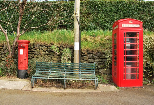
Image: © Stu JP Taken: 30 Mar 2015
All of these things are directly on a bus stop AND next to a pub.
Images are licensed for reuse under creativecommons.org/licenses/by-sa/2.0
Image Location
Latitude
52.983777
Longitude
-2.074284