Tidworth Park
Introduction
The photograph on this page of Tidworth Park by Andrew Smith as part of the Geograph project.
The Geograph project started in 2005 with the aim of publishing, organising and preserving representative images for every square kilometre of Great Britain, Ireland and the Isle of Man.

There are currently over 7.5m images from over 14,400 individuals and you can help contribute to the project by visiting https://www.geograph.org.uk
Tidworth Park
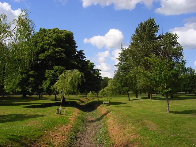
Image: © Andrew Smith Taken: 20 May 2007
The grounds of Tidworth House. Looking along the dried up course of the River Bourne.
Images are licensed for reuse under creativecommons.org/licenses/by-sa/2.0
Image Location
Latitude
51.227119
Longitude
-1.667707