The end of the bridleway
Introduction
The photograph on this page of The end of the bridleway by Karl and Ali as part of the Geograph project.
The Geograph project started in 2005 with the aim of publishing, organising and preserving representative images for every square kilometre of Great Britain, Ireland and the Isle of Man.

There are currently over 7.5m images from over 14,400 individuals and you can help contribute to the project by visiting https://www.geograph.org.uk
The end of the bridleway
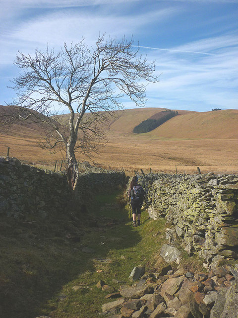
Image: © Karl and Ali Taken: 22 Mar 2015
Beyond the gnarled birch tree a gate leads out into the wide moorland bowl watered by Willdale Beck and its feeders. The track was almost certainly an access route for shepherds (possibly on horseback) and their animals to and from the open fell.
Images are licensed for reuse under creativecommons.org/licenses/by-sa/2.0
Image Location
Latitude
54.549243
Longitude
-2.779902