Approaching Mill Hill from the Annsborough Direction
Introduction
The photograph on this page of Approaching Mill Hill from the Annsborough Direction by Eric Jones as part of the Geograph project.
The Geograph project started in 2005 with the aim of publishing, organising and preserving representative images for every square kilometre of Great Britain, Ireland and the Isle of Man.

There are currently over 7.5m images from over 14,400 individuals and you can help contribute to the project by visiting https://www.geograph.org.uk
Approaching Mill Hill from the Annsborough Direction
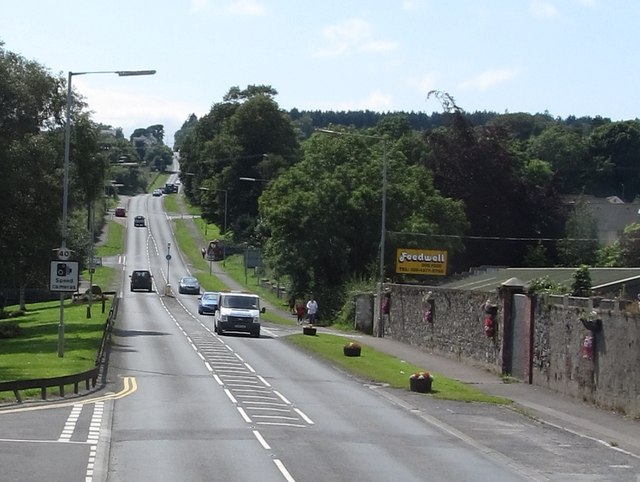
Image: © Eric Jones Taken: 29 Jul 2011
Mill Hill climbs steeply up to the town of Castlewellan. The road is the A25 which runs from the Monaghan/Armagh border near Castleblayney to Strangford at the mouth of Strangford Lough.
Images are licensed for reuse under creativecommons.org/licenses/by-sa/2.0
Image Location
Latitude
54.26188
Longitude
-5.92881