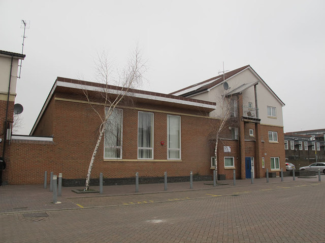
Moorlands Community Centre, Brixton
Introduction
The photograph on this page of Moorlands Community Centre, Brixton by Stephen Craven as part of the Geograph project.
The Geograph project started in 2005 with the aim of publishing, organising and preserving representative images for every square kilometre of Great Britain, Ireland and the Isle of Man.
There are currently over 7.5m images from over 14,400 individuals and you can help contribute to the project by visiting https://www.geograph.org.uk

Image: © Stephen Craven Taken: 19 Mar 2015
The modern community centre occupies roughly the site of the long-vanished Sussex Road Mission Hall (part of the Anglican parish of St John, Angell Town). It was still in use as of 1961 according to a document on the Diocesan file, but demolished when the area was redeveloped in the 1970s. Sussex Road was roughly on the alignment of the present Corry Drive Image, and existed, with terraced houses, by the time of the 1861 census, according to genealogy websites. It was part of the “Lambeth Wick” estate taken from Lord Holland’s estate.

