Lockwood and Salford Liberal Club, Victoria Road
Introduction
The photograph on this page of Lockwood and Salford Liberal Club, Victoria Road by Humphrey Bolton as part of the Geograph project.
The Geograph project started in 2005 with the aim of publishing, organising and preserving representative images for every square kilometre of Great Britain, Ireland and the Isle of Man.

There are currently over 7.5m images from over 14,400 individuals and you can help contribute to the project by visiting https://www.geograph.org.uk
Lockwood and Salford Liberal Club, Victoria Road
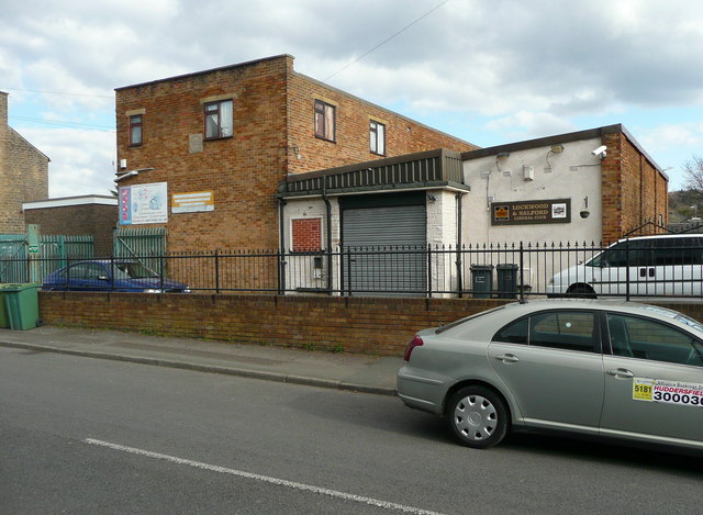
Image: © Humphrey Bolton Taken: 25 Mar 2015
The club premises were moved here from Royds House, which was captioned 'Club' on the 1905 1:2500 map. The present club premises were built on part of the grounds of North House.
Images are licensed for reuse under creativecommons.org/licenses/by-sa/2.0
Image Location


Leaflet Map data © OpenStreetMap
Latitude
53.63405
Longitude
-1.796408