Approach to Ellon
Introduction
The photograph on this page of Approach to Ellon by Ken Fitlike as part of the Geograph project.
The Geograph project started in 2005 with the aim of publishing, organising and preserving representative images for every square kilometre of Great Britain, Ireland and the Isle of Man.

There are currently over 7.5m images from over 14,400 individuals and you can help contribute to the project by visiting https://www.geograph.org.uk
Approach to Ellon
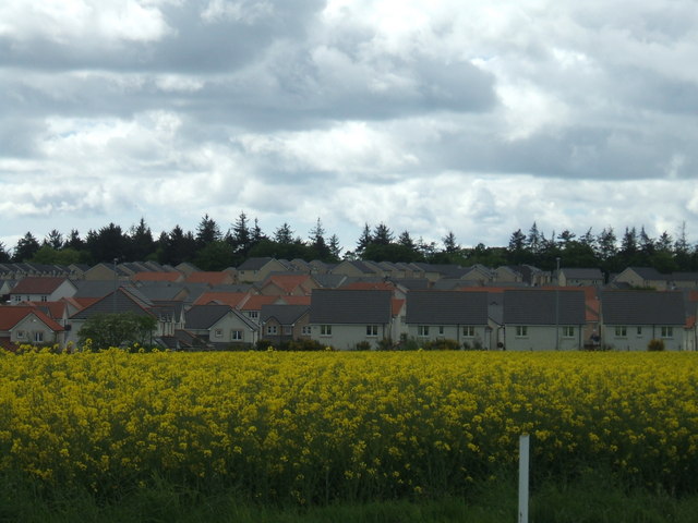
Image: © Ken Fitlike Taken: 20 May 2007
...from the north side, Overton/Berefold road. I think this housing estate has sprouted since the publication of OS map Landranger 30 (printed 2003 - purchased spring 2007) Housing estate is now expanded right up to the by-pass road.
Images are licensed for reuse under creativecommons.org/licenses/by-sa/2.0
Image Location


Leaflet Map data © OpenStreetMap
Latitude
57.373216
Longitude
-2.069655