Greenways, Cuddington
Introduction
The photograph on this page of Greenways, Cuddington by Robin Webster as part of the Geograph project.
The Geograph project started in 2005 with the aim of publishing, organising and preserving representative images for every square kilometre of Great Britain, Ireland and the Isle of Man.

There are currently over 7.5m images from over 14,400 individuals and you can help contribute to the project by visiting https://www.geograph.org.uk
Greenways, Cuddington
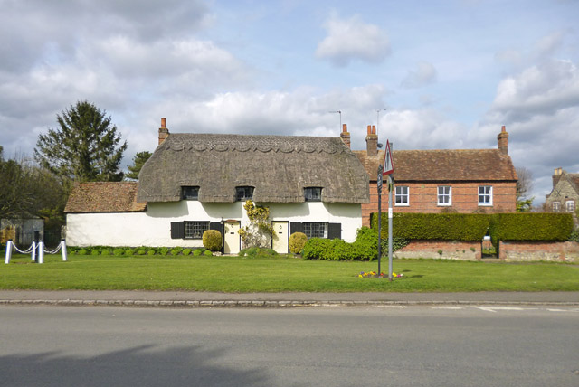
Image: © Robin Webster Taken: 27 Mar 2015
An 18th century grade II listed building, formerly two cottages, now one. On the left within a small cordoned off area of the village green is the village pump, also grade II listed.
Images are licensed for reuse under creativecommons.org/licenses/by-sa/2.0
Image Location
Latitude
51.793606
Longitude
-0.931614