The Pier at Worthing
Introduction
The photograph on this page of The Pier at Worthing by Pam Brophy as part of the Geograph project.
The Geograph project started in 2005 with the aim of publishing, organising and preserving representative images for every square kilometre of Great Britain, Ireland and the Isle of Man.

There are currently over 7.5m images from over 14,400 individuals and you can help contribute to the project by visiting https://www.geograph.org.uk
The Pier at Worthing
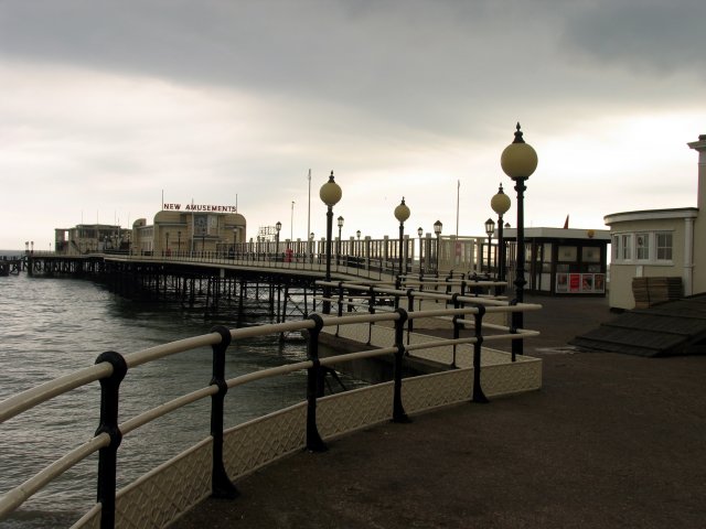
Image: © Pam Brophy Taken: 15 Apr 2005
Two thirds of this pier extends into this grid square and is situated in the extreme south western section of the grid square
Images are licensed for reuse under creativecommons.org/licenses/by-sa/2.0
Image Location


Leaflet Map data © OpenStreetMap
Latitude
50.810547
Longitude
-0.362026