Road, Glen Almond
Introduction
The photograph on this page of Road, Glen Almond by Richard Webb as part of the Geograph project.
The Geograph project started in 2005 with the aim of publishing, organising and preserving representative images for every square kilometre of Great Britain, Ireland and the Isle of Man.

There are currently over 7.5m images from over 14,400 individuals and you can help contribute to the project by visiting https://www.geograph.org.uk
Road, Glen Almond
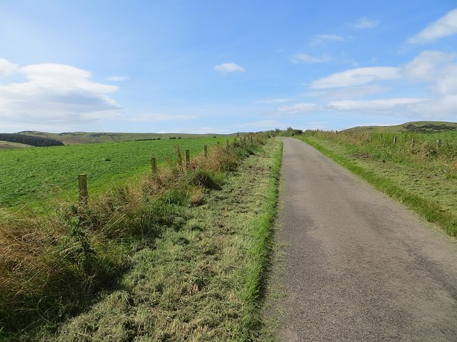
Image: © Richard Webb Taken: 13 Aug 2014
Route 7 health warning: They take you up Brown Carrick Hill, they take you down again - then back up. Things settle after Maybole or Ayr.
Images are licensed for reuse under creativecommons.org/licenses/by-sa/2.0
Image Location
Latitude
55.382562
Longitude
-4.71149