The Greenway, Hull
Introduction
The photograph on this page of The Greenway, Hull by Paul Harrop as part of the Geograph project.
The Geograph project started in 2005 with the aim of publishing, organising and preserving representative images for every square kilometre of Great Britain, Ireland and the Isle of Man.

There are currently over 7.5m images from over 14,400 individuals and you can help contribute to the project by visiting https://www.geograph.org.uk
The Greenway, Hull
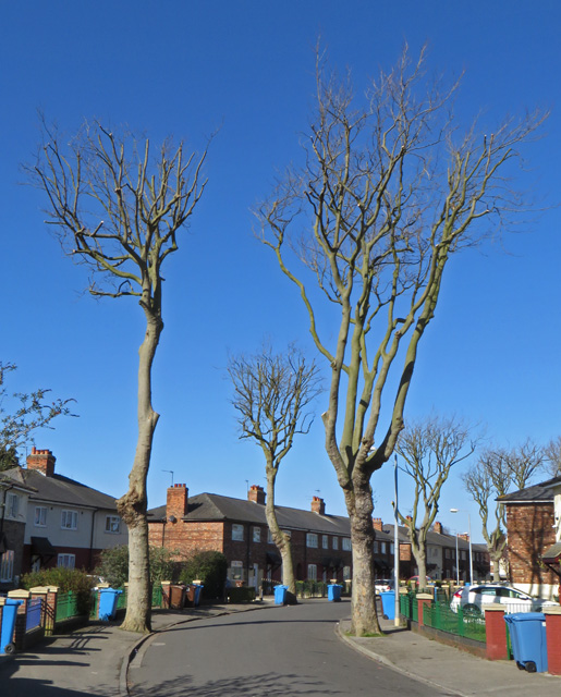
Image: © Paul Harrop Taken: 27 Mar 2015
Residential street in the Gispyville area - as in many streets in the area, the council has carried out severe pruning to the trees recently, which has left them looking somewhat forlorn.
Images are licensed for reuse under creativecommons.org/licenses/by-sa/2.0
Image Location
Latitude
53.733958
Longitude
-0.389439