Footpath in Steeple Aston
Introduction
The photograph on this page of Footpath in Steeple Aston by Stephen McKay as part of the Geograph project.
The Geograph project started in 2005 with the aim of publishing, organising and preserving representative images for every square kilometre of Great Britain, Ireland and the Isle of Man.

There are currently over 7.5m images from over 14,400 individuals and you can help contribute to the project by visiting https://www.geograph.org.uk
Footpath in Steeple Aston
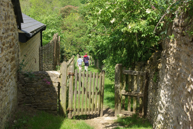
Image: © Stephen McKay Taken: 20 May 2007
Two boys stroll along the path that connects South Side (where it is called Stall Close) to North Side (where it is called The Tchure).
Images are licensed for reuse under creativecommons.org/licenses/by-sa/2.0
Image Location
Latitude
51.928798
Longitude
-1.312646