River Leven suspension bridge, detail view
Introduction
The photograph on this page of River Leven suspension bridge, detail view by William Starkey as part of the Geograph project.
The Geograph project started in 2005 with the aim of publishing, organising and preserving representative images for every square kilometre of Great Britain, Ireland and the Isle of Man.

There are currently over 7.5m images from over 14,400 individuals and you can help contribute to the project by visiting https://www.geograph.org.uk
River Leven suspension bridge, detail view
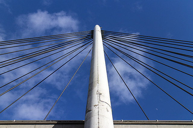
Image: © William Starkey Taken: 26 Mar 2015
A view of the River Leven suspension bridge at Glenrothes, carrying the B969. The bridge could be mistaken for a display of modern art from many viewpoints. See also geograph image Image
Images are licensed for reuse under creativecommons.org/licenses/by-sa/2.0
Image Location
Latitude
56.201331
Longitude
-3.192692