Stickle Path and the valley south of Clayhanger
Introduction
The photograph on this page of Stickle Path and the valley south of Clayhanger by David Smith as part of the Geograph project.
The Geograph project started in 2005 with the aim of publishing, organising and preserving representative images for every square kilometre of Great Britain, Ireland and the Isle of Man.

There are currently over 7.5m images from over 14,400 individuals and you can help contribute to the project by visiting https://www.geograph.org.uk
Stickle Path and the valley south of Clayhanger
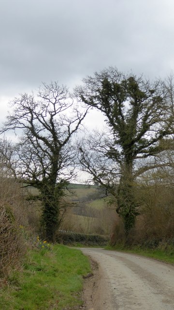
Image: © David Smith Taken: 23 Mar 2015
The bare trees allow a view across the shallow valley of a stream which flows eastwards to the River Tone
Images are licensed for reuse under creativecommons.org/licenses/by-sa/2.0
Image Location


Leaflet Map data © OpenStreetMap
Latitude
50.993911
Longitude
-3.387963