York Road in Leicester
Introduction
The photograph on this page of York Road in Leicester by Mat Fascione as part of the Geograph project.
The Geograph project started in 2005 with the aim of publishing, organising and preserving representative images for every square kilometre of Great Britain, Ireland and the Isle of Man.

There are currently over 7.5m images from over 14,400 individuals and you can help contribute to the project by visiting https://www.geograph.org.uk
York Road in Leicester
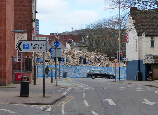
Image: © Mat Fascione Taken: 1 Mar 2015
The pile of rubble is all that remains of the New Walk Centre, the former home of Leicester City Council. It was demolished a week before this photo was taken. Image
Images are licensed for reuse under creativecommons.org/licenses/by-sa/2.0
Image Location
Latitude
52.63095
Longitude
-1.134298