Footpath above Hungerhill
Introduction
The photograph on this page of Footpath above Hungerhill by Karl and Ali as part of the Geograph project.
The Geograph project started in 2005 with the aim of publishing, organising and preserving representative images for every square kilometre of Great Britain, Ireland and the Isle of Man.

There are currently over 7.5m images from over 14,400 individuals and you can help contribute to the project by visiting https://www.geograph.org.uk
Footpath above Hungerhill
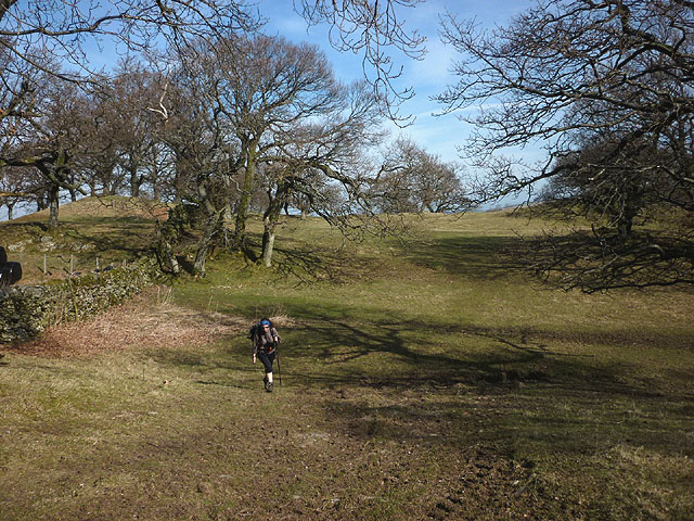
Image: © Karl and Ali Taken: 22 Mar 2015
The path south west of Bampton runs across a lightly wooded ridge before meeting the lane to Winder Hill and Little Water.
Images are licensed for reuse under creativecommons.org/licenses/by-sa/2.0
Image Location
Latitude
54.549821
Longitude
-2.75966