View down Acton High Street from the Gunnersbury Lane junction
Introduction
The photograph on this page of View down Acton High Street from the Gunnersbury Lane junction by Christopher Hilton as part of the Geograph project.
The Geograph project started in 2005 with the aim of publishing, organising and preserving representative images for every square kilometre of Great Britain, Ireland and the Isle of Man.

There are currently over 7.5m images from over 14,400 individuals and you can help contribute to the project by visiting https://www.geograph.org.uk
View down Acton High Street from the Gunnersbury Lane junction
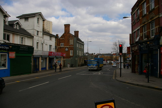
Image: © Christopher Hilton Taken: 23 Mar 2015
The pub in the middle distance, with its Truman, Hanbury and Buxton plaque high on the side, spent some time in the early 1990s called The Gin Palace, but is now called The Aeronaut.
Images are licensed for reuse under creativecommons.org/licenses/by-sa/2.0
Image Location
Latitude
51.508404
Longitude
-0.275447