Road at Higher Exe
Introduction
The photograph on this page of Road at Higher Exe by Derek Harper as part of the Geograph project.
The Geograph project started in 2005 with the aim of publishing, organising and preserving representative images for every square kilometre of Great Britain, Ireland and the Isle of Man.

There are currently over 7.5m images from over 14,400 individuals and you can help contribute to the project by visiting https://www.geograph.org.uk
Road at Higher Exe
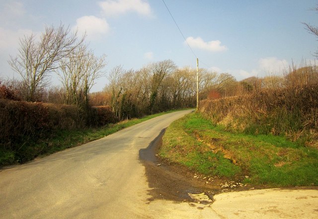
Image: © Derek Harper Taken: 18 Mar 2015
The road from Broad Langdon to Week St Mary, seen from the same spot as Image In the foreground is the start of footpath 562 15/1.
Images are licensed for reuse under creativecommons.org/licenses/by-sa/2.0
Image Location
Latitude
50.720841
Longitude
-4.521787