Peverell Avenue East
Introduction
The photograph on this page of Peverell Avenue East by John Stephen as part of the Geograph project.
The Geograph project started in 2005 with the aim of publishing, organising and preserving representative images for every square kilometre of Great Britain, Ireland and the Isle of Man.

There are currently over 7.5m images from over 14,400 individuals and you can help contribute to the project by visiting https://www.geograph.org.uk
Peverell Avenue East
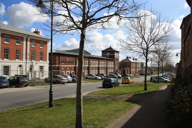
Image: © John Stephen Taken: 24 Mar 2015
View of new buildings either side of the Dorset Cereals factory which are part of the North East Quadrant development at Poundbury.
Images are licensed for reuse under creativecommons.org/licenses/by-sa/2.0
Image Location
Latitude
50.714557
Longitude
-2.463538