Acton Crossrail diveunder construction - view west
Introduction
The photograph on this page of Acton Crossrail diveunder construction - view west by David Hawgood as part of the Geograph project.
The Geograph project started in 2005 with the aim of publishing, organising and preserving representative images for every square kilometre of Great Britain, Ireland and the Isle of Man.

There are currently over 7.5m images from over 14,400 individuals and you can help contribute to the project by visiting https://www.geograph.org.uk
Acton Crossrail diveunder construction - view west
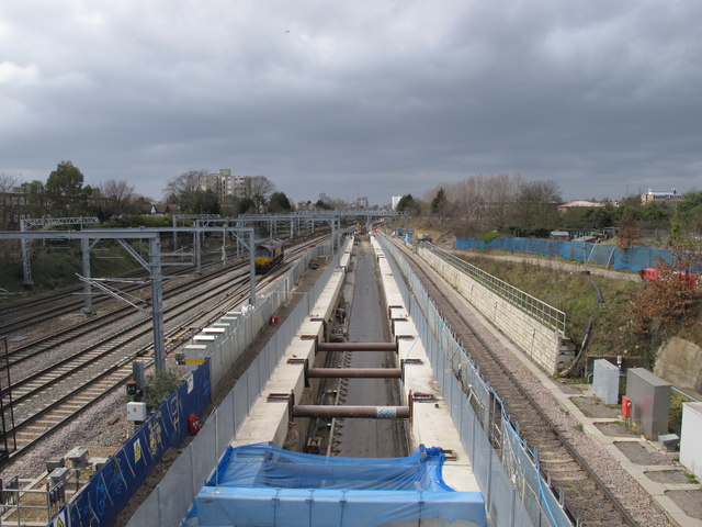
Image: © David Hawgood Taken: 21 Mar 2015
View west of the diveunder, photo from Noel Road bridge. There is a freight line on the far right, leading to one set of sidings. Then the diveunder. When complete there will be another freight line on the left of the diveunder, then two relief lines, then two main lines.
Images are licensed for reuse under creativecommons.org/licenses/by-sa/2.0
Image Location
Latitude
51.51509
Longitude
-0.283698