Towards Maxworthy
Introduction
The photograph on this page of Towards Maxworthy by Derek Harper as part of the Geograph project.
The Geograph project started in 2005 with the aim of publishing, organising and preserving representative images for every square kilometre of Great Britain, Ireland and the Isle of Man.

There are currently over 7.5m images from over 14,400 individuals and you can help contribute to the project by visiting https://www.geograph.org.uk
Towards Maxworthy
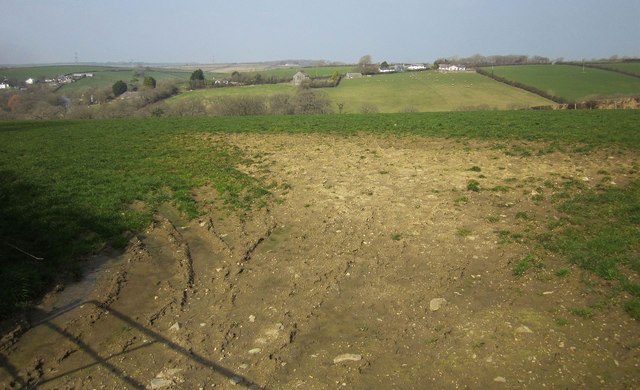
Image: © Derek Harper Taken: 18 Mar 2015
The buildings at Maxworthy are along the road east from Caudworthy Bridge, on the far side of a tributary valley of the Caudworthy Water. In the centre is Maxworthy Methodist chapel.
Images are licensed for reuse under creativecommons.org/licenses/by-sa/2.0
Image Location


Leaflet Map data © OpenStreetMap
Latitude
50.704062
Longitude
-4.47797