New housing in Kenmaree Park and Linfield Drive off Sandy Row
Introduction
The photograph on this page of New housing in Kenmaree Park and Linfield Drive off Sandy Row by Eric Jones as part of the Geograph project.
The Geograph project started in 2005 with the aim of publishing, organising and preserving representative images for every square kilometre of Great Britain, Ireland and the Isle of Man.

There are currently over 7.5m images from over 14,400 individuals and you can help contribute to the project by visiting https://www.geograph.org.uk
New housing in Kenmaree Park and Linfield Drive off Sandy Row
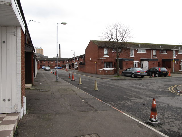
Image: © Eric Jones Taken: 17 Feb 2015
Huge tracks of Victorian and Edwardian terraced housing in inner Belfast were replaced after the Peace Agreenment by new and pleasanter housing estates.
Images are licensed for reuse under creativecommons.org/licenses/by-sa/2.0
Image Location
Latitude
54.593229
Longitude
-5.937708